01Learned from the best
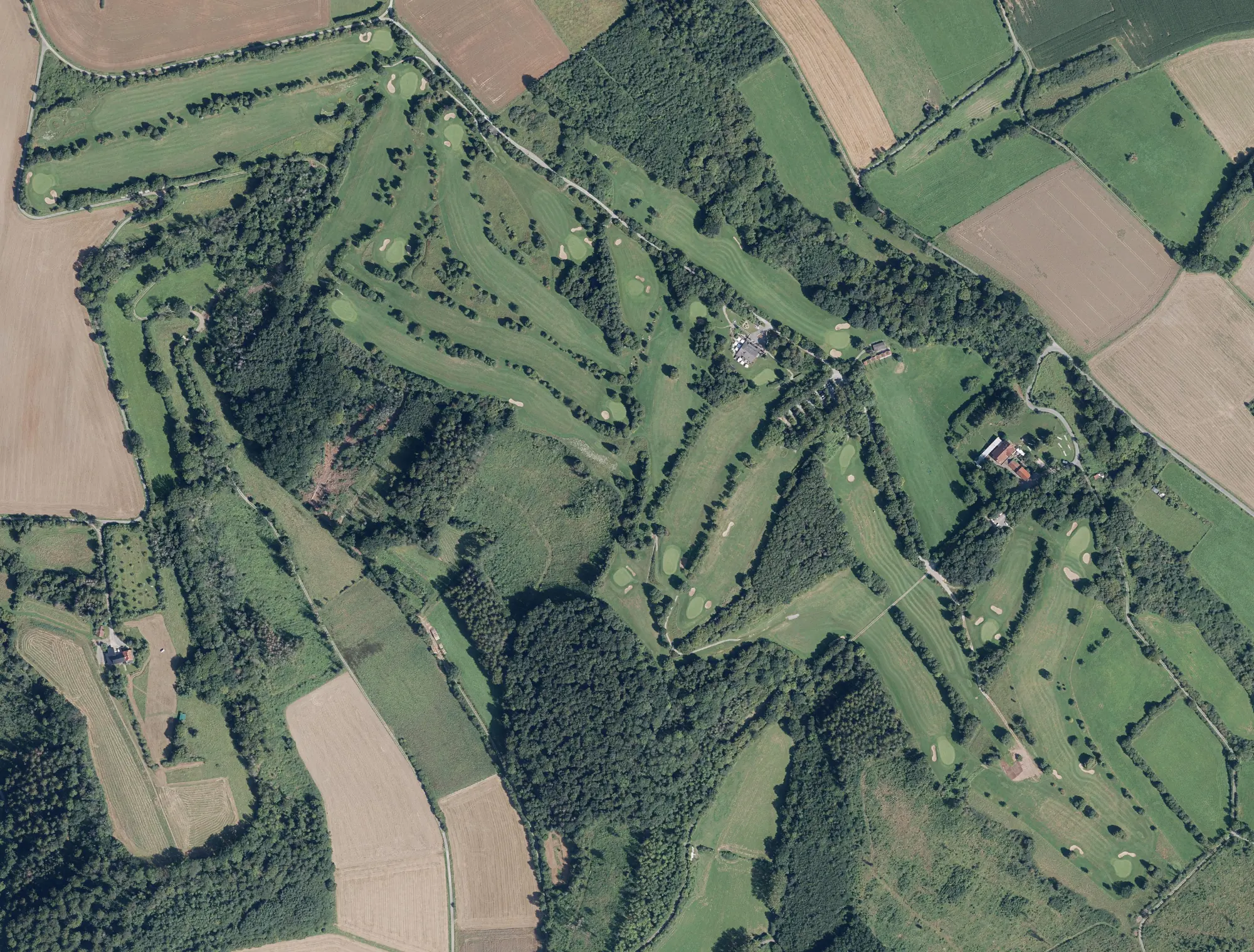
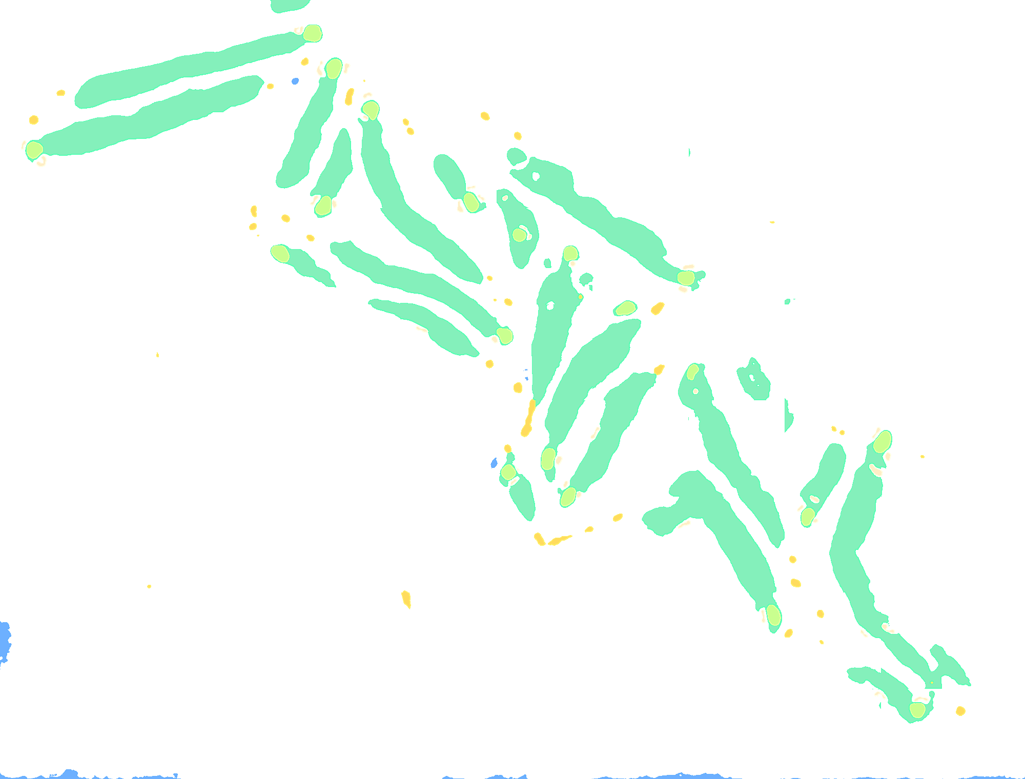
The teachers are courses that are already fully and cleanly mapped in OpenStreetMap. Their areas become training masks. The aerial images come from open official orthophotos in Europe and NAIP in the US. That way the model learns what a green looks like, in North Rhine-Westphalia as well as in California.
02From pixel to hole
The segmentation model produces areas. Which tee belongs to which green, in which order the holes are played and what par they have is decided by a second model. It scores every tee-green pair, solves the assignment optimally and fixes the round with the shortest walks. A classifier separates hole greens from practice greens.
03Quality by design
AI proposals only go live when they pass strict checks: the right number of holes, no crossing lines of play, plausible walks and pars. Every region must reach at least 90 percent correct holes in a sample review. Every course gets a quality grade from A to D.
04Cartography in centimetres
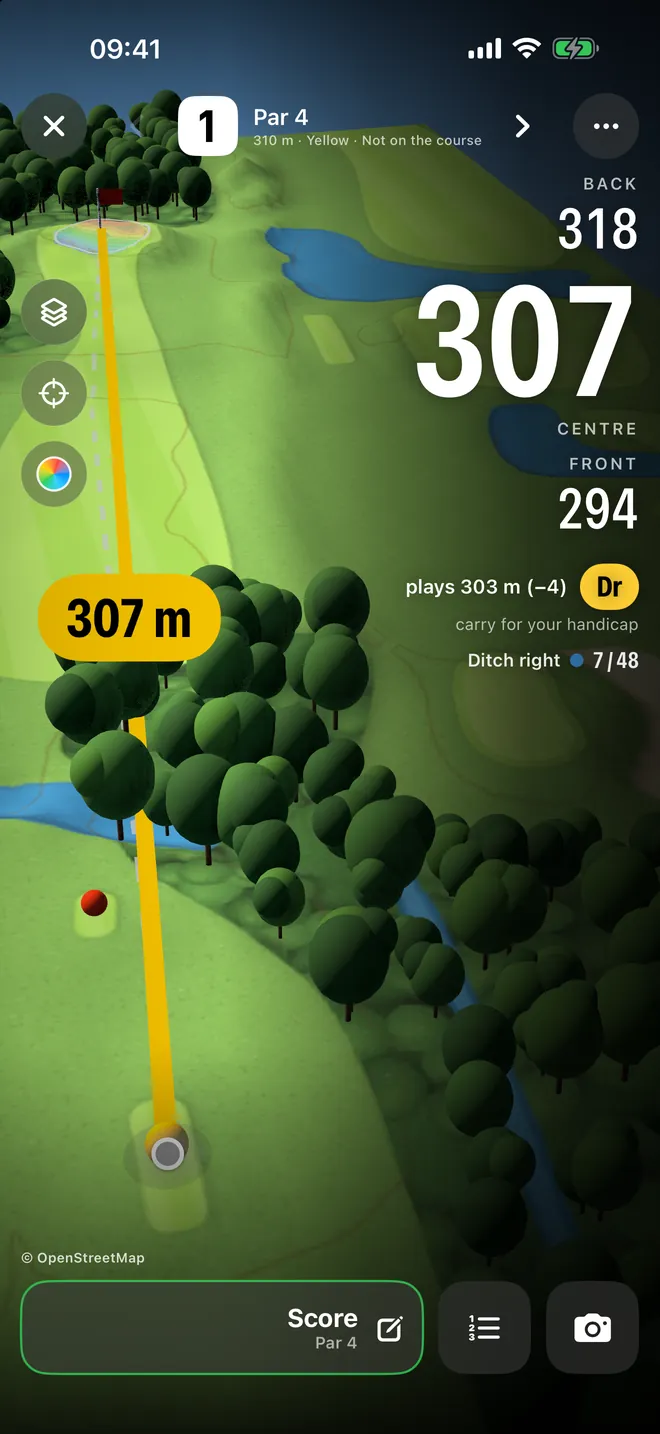
Terrain comes from laser-scan elevation models with grids down to 1 metre, in Germany from the state survey's DGM1. Against the official model we measure 0.01 metres RMSE. From it we compute each hole's elevation profile, green slopes on a 1-metre grid and plays-like distance. In Bavaria we even measure trees crown by crown from the surface model.